Protecting North Kilkenny & South Laois Waterways & Community Well-being.
Seskin Preservation is a united, non-profit community trust dedicated to safeguarding clean karst limestone water tables, domestic spring wells, residential well-being, and pristine upland habitats from proposed industrial wind energy developments.
Lisdowney: Our Unbroken Heritage vs. MKO and Landowners Industrial Horizon
Your health, your wellbeing and your peace, their pockets. For the Seskin Renewables Wind Farm project (located in North Kilkenny around Ballynaslee/Ballyconra and extending into South Laois/Durrow), hosting landowners are estimated to receive €36,000 to €50,000+ per turbine per year once operational.
Source: Agriland - IFA confirms significant wind farm uptake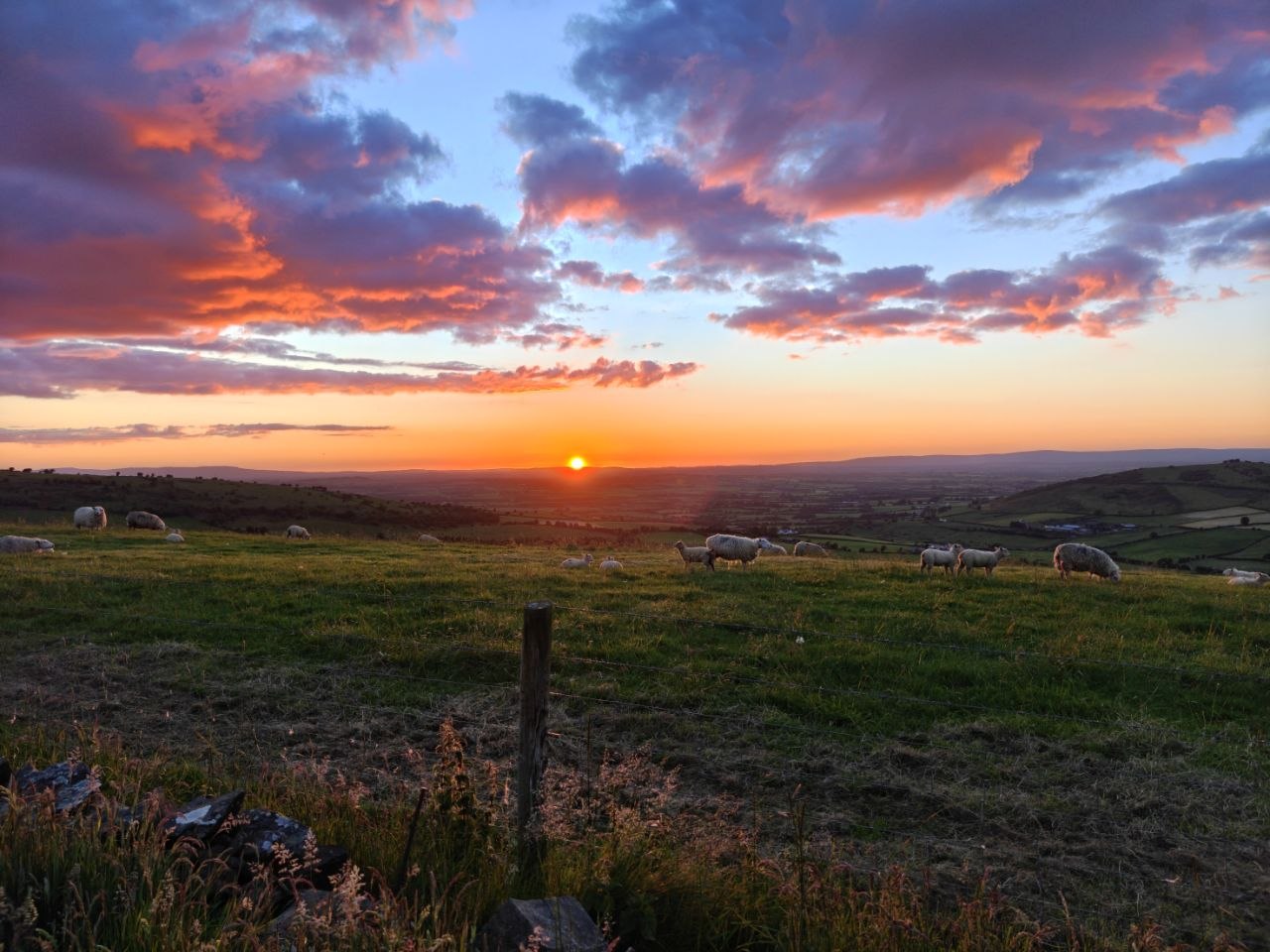
Protecting a living landscape together
The border region between North Kilkenny and South Laois is characterised by unique karst limestone hydrology, domestic spring networks, and pristine river valleys feeding directly into the River Nore catchment. These waterways, fields, hedgerows, and upland habitats form a connected living landscape that supports homes, farms, wildlife, and generations of local memory.
When planning applications were submitted for 175m industrial turbine structures across our quiet townlands, local families joined together to ensure rigorous independent hydrological, acoustic, and legal scrutiny. Our committee is working to protect clean drinking water, residential health and well being, rural character, property prices, and the ecological corridors that make this region distinctive.
Seskin Preservation brings residents, landowners, trustees, and local supporters together to share evidence, fund specialist advice, and engage constructively with the planning process. We believe decisions about this landscape should be transparent, carefully assessed, and rooted in the long-term health of the people and places that call it home.
Core Reasons for Opposing Industrial Turbines
Water Security & Hydrology
Heavy concrete foundation excavation in karst limestone creates permanent conduits for groundwater pollution, endangering local family spring wells and the River Nore catchment basin.
Public Health & Setback
Continuous low-frequency infrasound and persistent shadow flicker from 175-meter giant blade structures directly impact nearby family homes, residential amenity, and sleep quality.
Biodiversity & Peat Carbon
Protection of rare bird species (Buzzards, Whooper swans, Raptors), bat roosting corridors, ancient hedgerows, and highly sensitive karst landscapes.
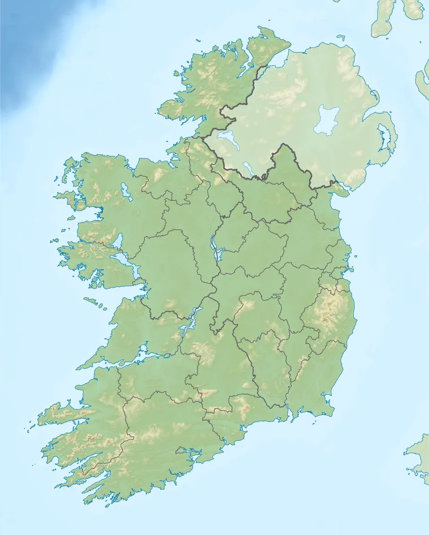
Interactive Map of Ireland & Focal Region
Explore key locations across North Kilkenny and South Laois on the island map. Click pins to view environmental impact profiles, planning reference files, domestic aquifer risks, and raptor corridors.
Statutory Planning Portals & Appeal Files
Access official ePlanning applications lodged with Kilkenny County Council, Laois County Council, An Coimisiún Pleanála, and public land consent registers.